 State: Queensland
Name Derivation:
Named after Sir James Robert Dickson (1832-1901), a leading advocate of Federation. He was Queensland Premier from 1898 until 1899 and Minister for Defence in the first Federal Ministry.
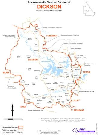
Area and Location Description:
Dickson covers an area of approximately 772 sq km north and west of Brisbane.
It includes the Moreton Bay Region Council. Suburbs and towns include Albany Creek, Arana Hills, Bray Park, Brendale, Cashmere, Dayboro, Eatons Hill, Everton Hills, Ferny Hills, Joyner, Kallangur, Lawnton, Mount Glorious, Mount Nebo, Petrie, Samford Valley, Strathpine and Warner.
Products/Industries of the area:
The area is mainly residential with some farming, retail and industrial activities.
First Proclaimed/Election: 1992/1993
Demographic Rating: Outer Metropolitan
Members:
Peter Dutton (LP) 2001-
C Kernot (ALP) 1998-2001
T Smith (LP) 1996-98
M H Lavarch (ALP) 1993-96
Federal Election Results
|
Year
|
2001
|
2004
|
2007
|
2010
|
2013 | |
|
Enrolment
|
88,001
|
84,201
|
89,358
|
90,111
|
94,373 | |
|
Informal Vote
|
5.62%
|
4.60%
|
2.77%
|
4.41%
|
4.26% | |
|
Turnout
|
96.13%
|
95.14%
|
96.05%
|
94.56%
|
94.89% | |
|
Seat Status
|
Marginal
Liberal |
Fairly Safe
Liberal |
Marginal
|
Marginal
|
Marginal | |
|
Two Party Preferred:
|
LP
|
55.97%
|
57.83%
|
50.13%
|
55.13%
|
56.72% |
|
ALP
|
44.03%
|
42.17%
|
49.87%
|
44.87%
|
43.28% | |
Information sourced from the Australian Electoral Commision